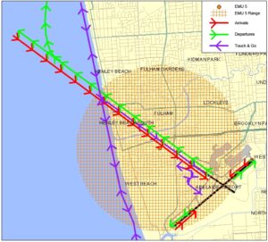
A Noise Abatement Procedure (NAP) is a procedure designed to reduce the impact of aircraft noise on the community.
Airservices Australia has the following NAP in place at Adelaide Airport:
Reporting is now available for:
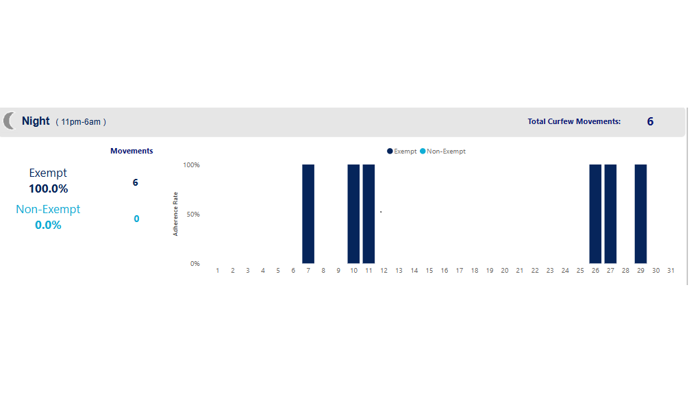
5. Curfew
NAP investigation reports:
The following NAPs are not able to be reported on by Airservices Australia as we do not have ready access to the required data:
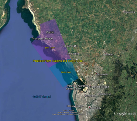
- Training Flights
NAP reporting for this airport will be released in the fourth week of the month for the previous month.
It is important to note that NAPs are not mandatory; Air Traffic Control (ATC) and pilots apply the NAPs whenever possible. ATC and pilots will determine when critical operational requirements override the use of NAPs.
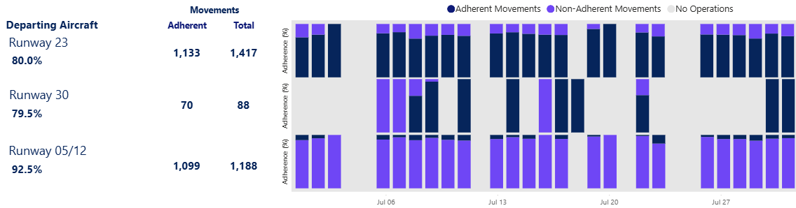
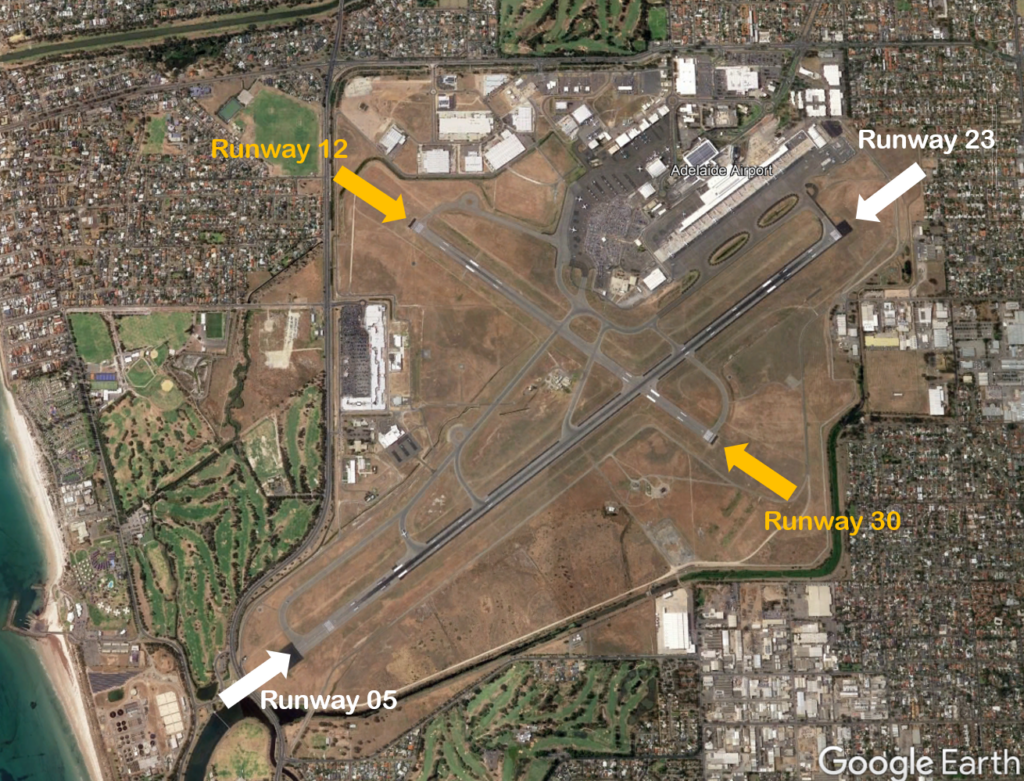
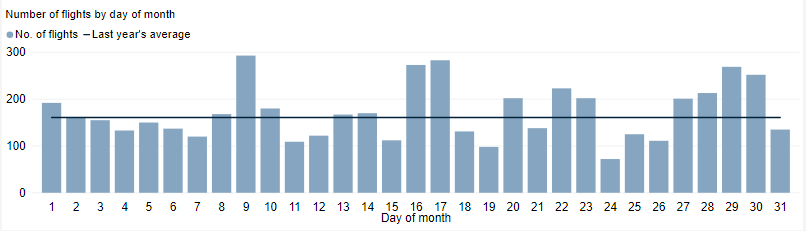
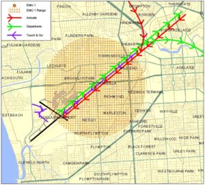
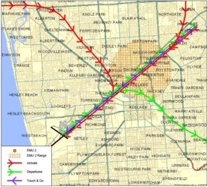
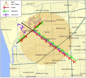
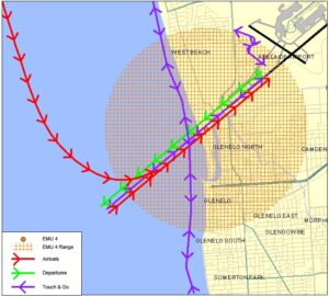
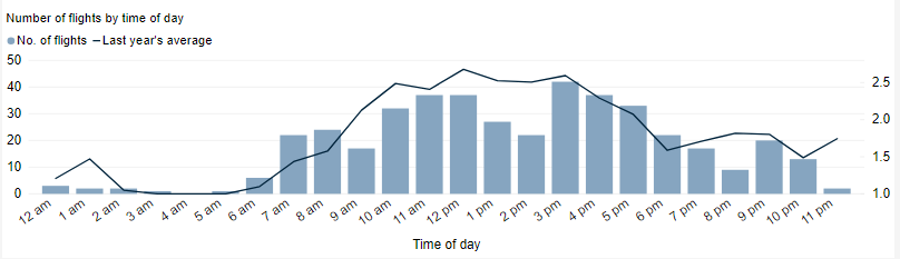
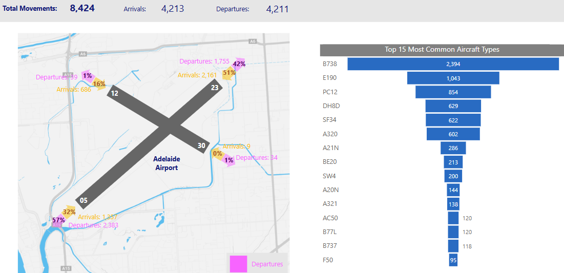
The overview below provides monthly movement numbers, runway end usage, and the types of aircraft operating at Adelaide airport.
Note: Due to rounding, percentage values may not sum to exactly 100.0%. Minor discrepancies of up to ±1% are expected and do not indicate any errors in the underlying absolute figures, which remain accurate and unaffected.