What are the rules about altitudes?

The altitudes of aircraft over your area can vary according to:

  • the airport the flight is coming from or going to
  • whether the aircraft is coming in to land, taking off or in level flight
  • the specific requirements of the flight path
  • the need for air traffic control to maintain vertical separation between aircraft.

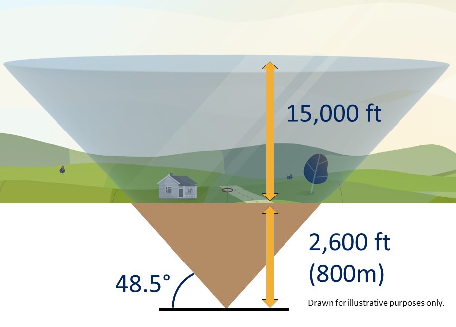
There are no regulations setting out minimum altitudes for aircraft in the course of taking off or landing at an airport.

Variation in departure altitudes

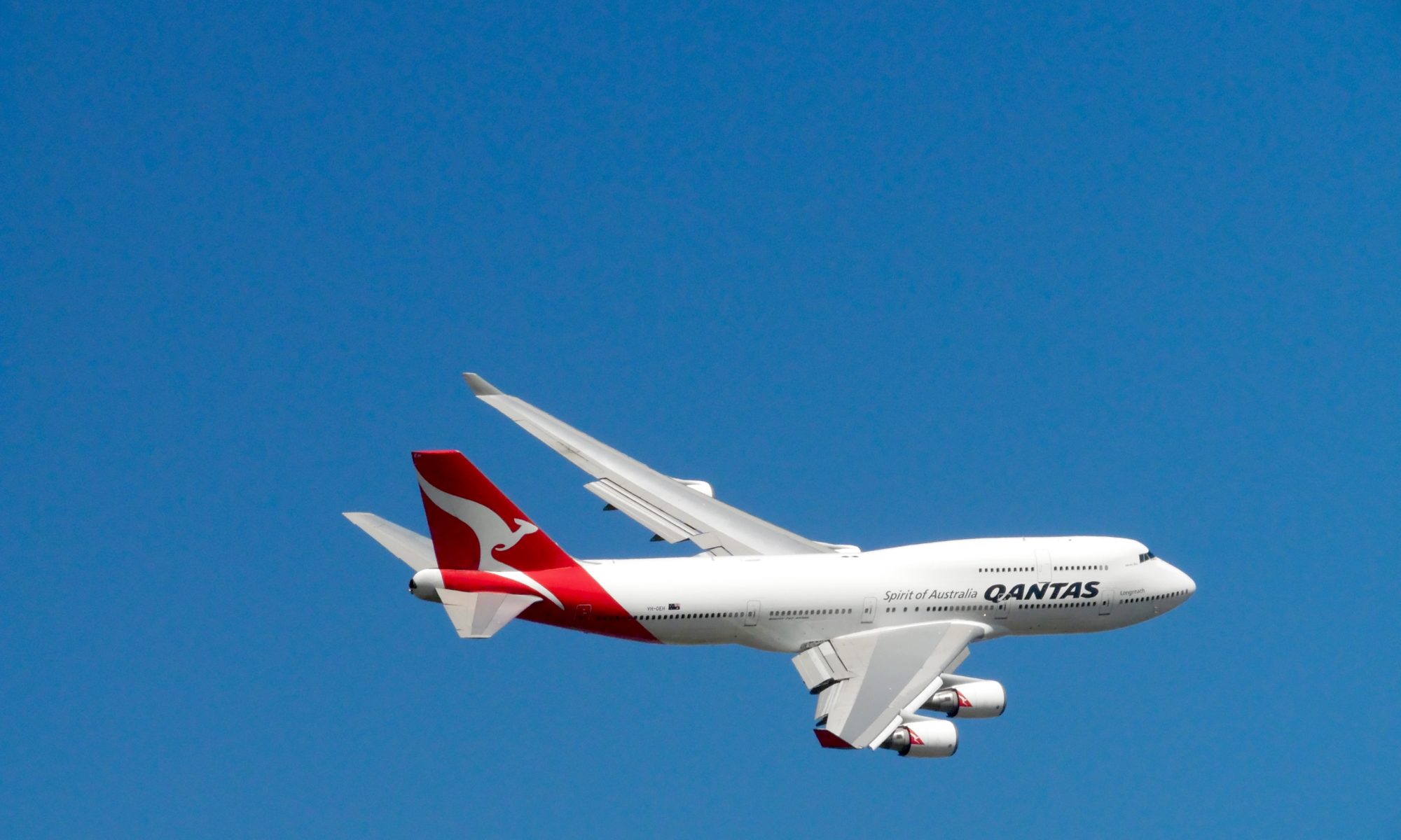
You may observe differences in the altitudes of departing aircraft. Aircraft have different climbing abilities depending on factors such as the type of aircraft and its weight, how heavily laden it is, and even the meteorological conditions at the time.

Large jets such as Airbus A380s will climb more slowly than smaller, lighter aircraft because they are so much heavier. A380s are frequently used for long-haul non-stop flights and in these circumstances will be fully laden with fuel. This adds to the weight and further compromises climb performance. When two aircraft of the same type are observed to have different climb rates this is usually because one is heading for a closer destination than the other, and is therefore carrying less fuel weight.

Atmospheric conditions can affect climb rates. For example, when it is hot and humid the air is less dense. This affects the “lift” of an aircraft and it will take longer to climb in these conditions.

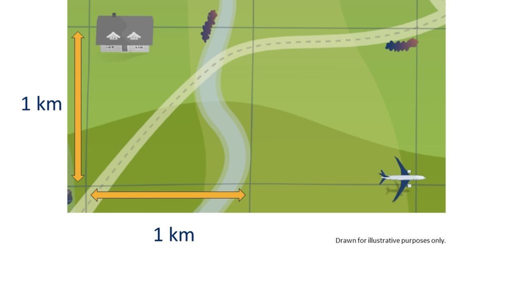
Minimum altitude for level flight

The Civil Aviation Safety Authority have regulations for how low aircraft can fly. These regulations require pilots fly no lower than 1,000 feet (ft) over built-up areas, or 500 feet over any other areas, unless they are landing or taking off.

Aircraft may be able to fly below these heights in certain situations. More information is available on the CASA website.

Noise Complaints and Information Service Report

We manage complaints and enquiries about aircraft noise and operations through our Noise Complaints and Information Service (NCIS). The information below is collected for the purpose of complaint management, analysis of issues and identification of causal factors.

For this reason we refer to ‘complainants’ and ‘issues’. Complainants are people who contacted us. While some people submitted enquiries or comments rather than complaints, all are referred to as “complainants”. Issues are the primary concern they raised.

The complaints report

Use this interactive tool to explore the issues raised by residents from different suburbs. For help, click the button in the bottom right-hand corner.

This report is best viewed in full screen mode.

Read an explanation of issues and classifications used in complaint reporting.


How our system calculates flights over an area

The following video explains how our system calculates location-specific data used on this website:

The NFPMS

We source data directly from the Airservices Noise and Flight Path Monitoring System. The largest monitoring system in the world, combining data from air traffic control systems with a network of monitors deployed in local communities.

By using the location you provided when you entered the website, we extract data collected by this system and combine this with geographically relevant information, tailoring the site.

The grid

To be able to analyze the number of flights over your area, we have created a grid of identically sized, 1 kilometre by 1 kilometre squares. In total, the grid extends for 95 kilometres around each of the major airports in our coverage area. Initially this portal covers:

  • Adelaide
  • Brisbane
  • Cairns
  • Canberra
  • Gold Coast
  • Hobart
  • Melbourne
  • Perth
  • Sunshine Coast
  • Sydney

How we count the number of flights

We start by drawing a cone at the centre of each grid. Using the location that you provided when you entered the site, we determine the nearest cone to you.

Flights that pass through each cone are recorded and that
data is presented on this website.

To avoid underestimating the flights in each area and to fully cover all locations in our grid, we lower the cone 2,600 feet (800 metres) into the ground.

The cone extends up to 15,000 feet (4.5 kilometres) above local ground level and at the very top, the cone is over 30,000 feet (9.4 kilometres) wide.

Why we use a cone

We use a cone because research undertaken by the United Kingdom Civil Aviation Authority identified that a cone best aligns with how we determine if an aircraft has overflown a location or not.

The 48.5-degree angle of the cone was selected as it incorporates an evaluation of noise, in that if one aircraft flew directly above the observer, followed by a second aircraft off to the side along the 48.5 degree line, the second aircraft would be 3 decibels quieter than the first.