Light aircraft and helicopter routes – west

There are a number of routes around Sydney used by light aircraft and helicopters.
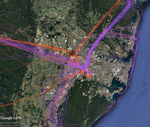
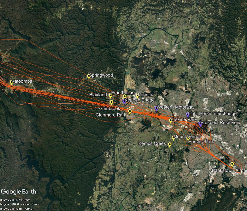
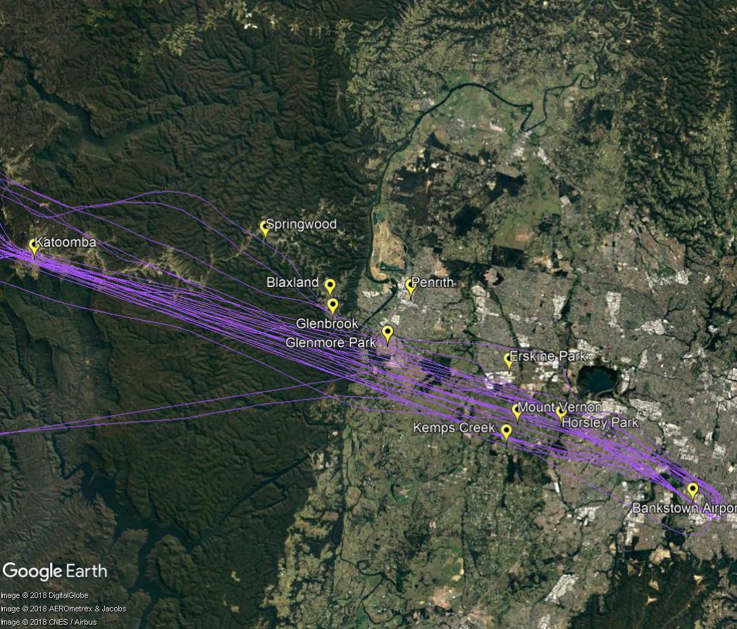
It is not mandatory that light aircraft and helicopters fly on these routes. As you will see from the images below which show the tracks of actual flights, some aircraft may fly the whole route but others may only fly part of it, joining or leaving it depending on their purpose or destination. Other aircraft may not use the routes at all.
These routes are mainly outside controlled airspace (“OCTA”), that is, aircraft are not being directed by air traffic control. Whenever they fly outside controlled airspace, pilots are following the rules of the air. Our booklet, Guide to our Operations, explains more about different types of airspace.
Pilots using these routes are usually flying under Visual Flight Rules, which means they navigate using landmarks that are easily seen from the air. This does not mean they must fly over each landmark; rather, they use each landmark to be sure of their position.
Most of these routes lead to and from Bankstown Airport, as shown in the images above and below.
Inbound from west
Light aircraft and helicopters inbound from the west to Bankstown Airport navigate using the Great Western Highway, Nepean Bridge, Western Motorway, Light Horse Interchange and Prospect Reservoir. Pilots will usually follow the Great Western Highway over the Blue Mountains to ensure they do not stray into the restricted military airspace around Richmond RAAF Base which is located immediately to the north.

Outbound to west
When flying outbound to the west, aircraft must avoid the Richmond RAAF Base military area and will use the towns of Penrith, Glenbrook, Springwood and Katoomba as visual aids to avoid tracking into restricted airspace.
Aircraft may climb to 2,500 feet once they have passed the Liverpool to Parramatta railway line. Once west of Glenbrook aircraft may fly up to 6500 feet.


